
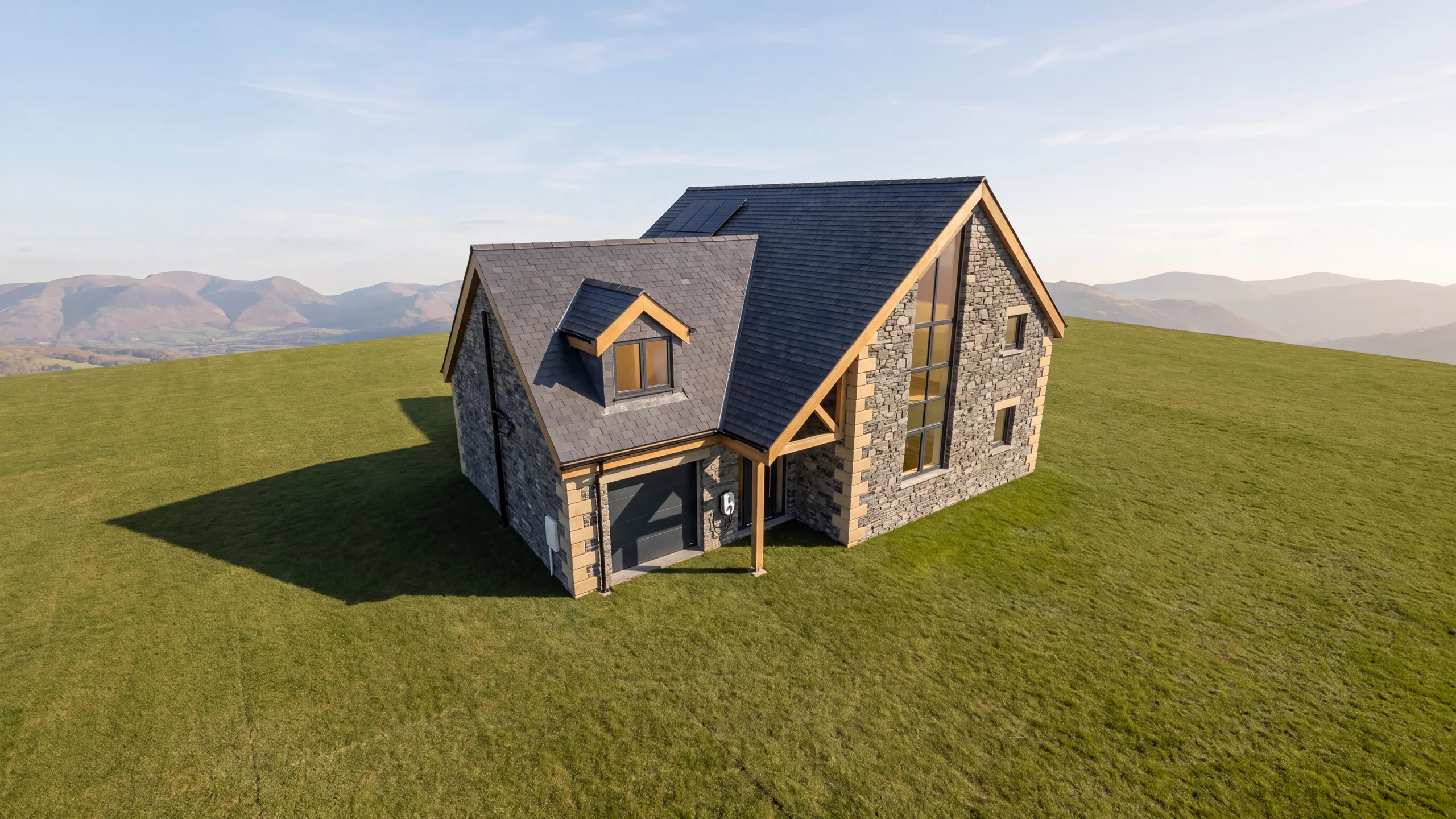
Meadow Croft, Windermere — from the project model
Digital surveying · 3D modelling · Architectural design
From site capture
to 3D reality.
Drone surveys, photogrammetry, laser scanning, 3D modelling, BIM and static digital twins — turning real-world buildings and sites into accurate digital information you can design from.
What we do
One capture. Six stages.
We capture a site once and turn it into everything a project needs — from point clouds and digital twins to CAD, BIM and a tagged record for facilities management.
- 01Capture
Drone Survey
- 02Process
Point Cloud & Photogrammetry
- 03Scan
Internal Laser Scanning
- 04Model
Static Digital Twin
- 05Design
CAD, BIM & Visualisation
- 06Manage
Asset Tagging & Facilities Management
The workflow on film
Salt's Wharf, from drone to digital twin.
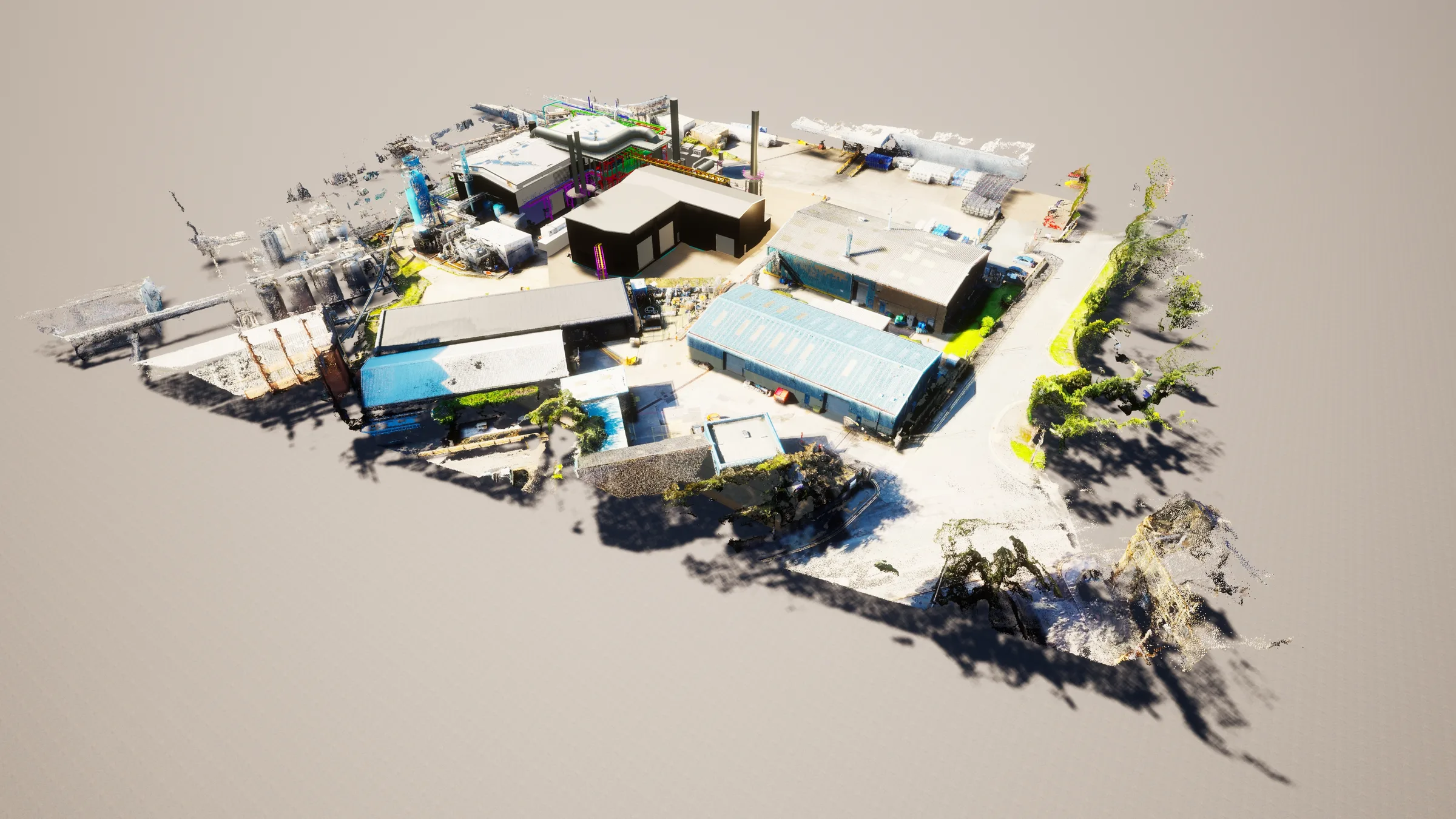
Our own base at Salt's Wharf, Shipley, taken through the workflow — drone survey, point cloud and photogrammetry, a static digital twin, and an interior walkthrough with tagged fittings and equipment.
1 min 53 s · with voice-over
Case studies
Recent projects
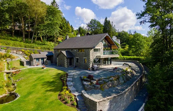
Residential — New Build
Lakeside Dwelling
Helped secure planning consent by showing, from every angle, how the house sits in its Lake District setting.
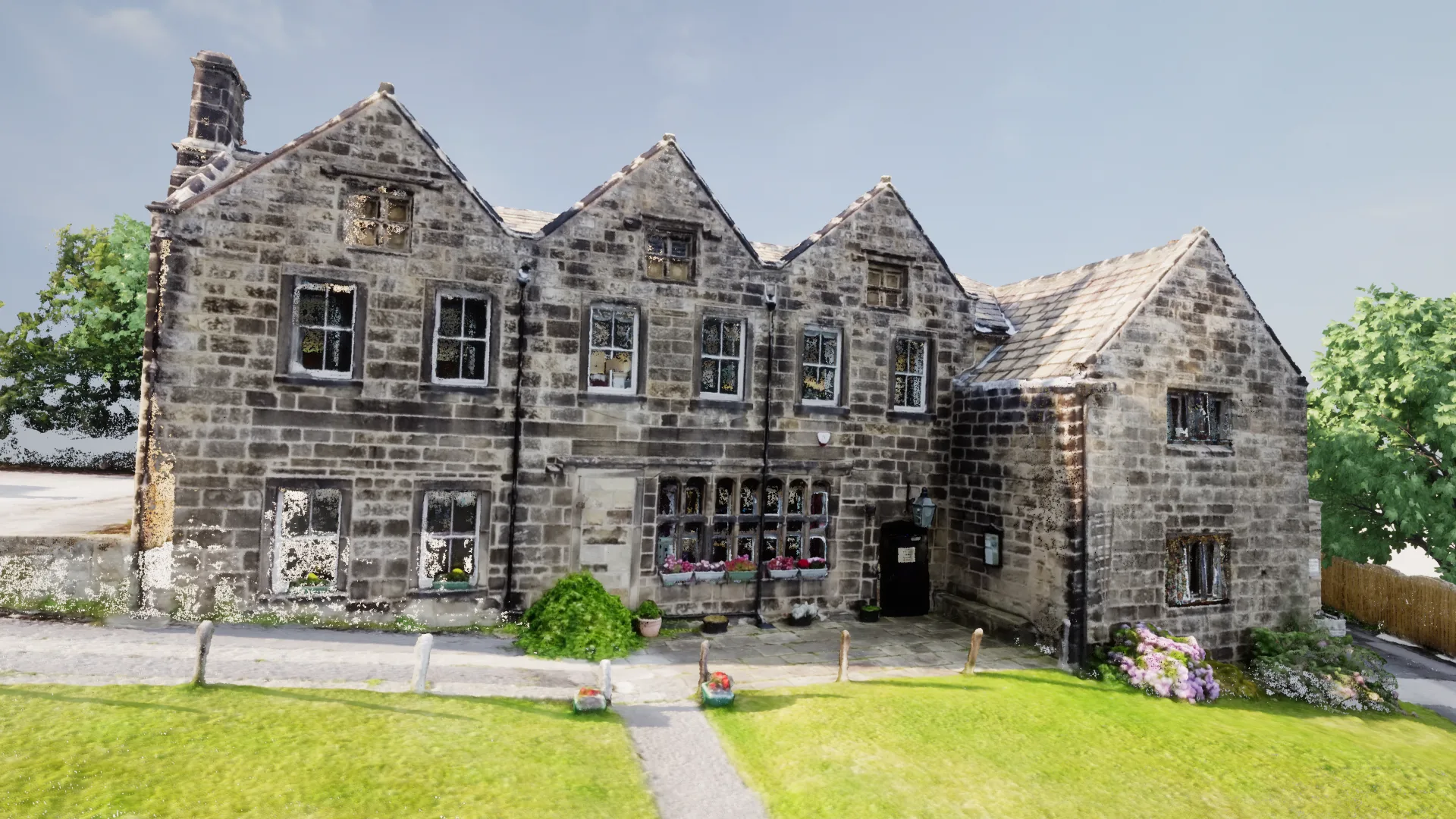
Heritage — Grade II Listed
Listed Building Renovation
A cost-effective overview of the roof and chimneys for the structural assessment — and a virtual tour for prospective members.
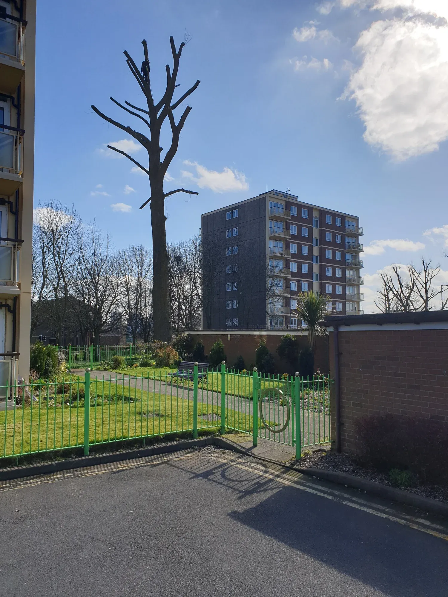
Residential — Social Housing
High Rise Refurbishment
Digital twins and a shared CAD model of every block, and finish visuals that let residents choose the final colour and finish.
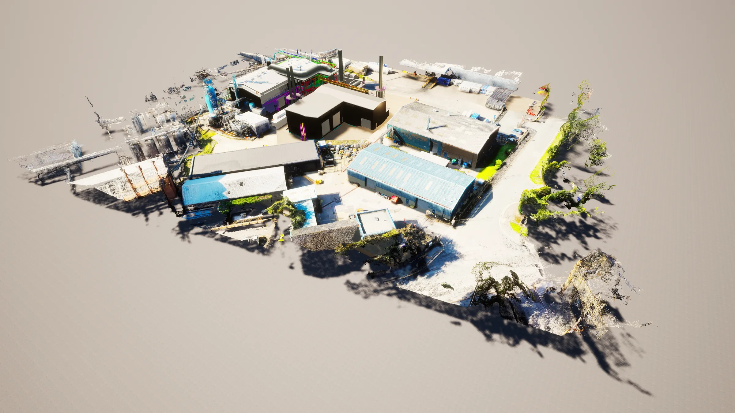
Industrial — Plant Upgrade
Energy Processing Plant
New plant planned into a restricted, hazardous site, with every area checked in VR so no components conflicted.
Why Gemini
Design from what's
actually there.
A fully detailed building model across multiple platforms saves time spent on site revisits, and the cost implications that go with it.
See how it works- 01
Accurate existing data
Capture the site as it actually is — buildings, landscape, services and assets — before design decisions get made against assumptions.
- 02
One integrated workflow
Survey, photogrammetry, scanning, modelling, BIM and design sit under one roof, so data moves through the project without being rebuilt at each stage.
- 03
Fewer site revisits
Measurements can be taken remotely from the model, saving the time and cost of returning to site — and reducing the environmental impact of travel.
- 04
Access the inaccessible
Drone survey captures areas that may be unsafe or impractical to inspect, including roofs, chimneys, plant and complex structures.
- 05
Shared across platforms
Models are shared across formats and disciplines, so every team member can access the same information wherever they are located.
- 06
Built for real projects
Used by facilities managers, architects, designers, contractors and project managers on live residential, commercial, industrial and heritage work.
Have a project in mind?
Tell us what you're working on and we'll help determine the best way to capture, model or design it.